Good morning. This is Alex Marienthal with the Gallatin National Forest Avalanche Forecast on Sunday, January 15th at 7:00 a.m. This information is sponsored by Alpine Orthopedics & Sports Medicine, Stronghold Fabrication, and Upper Yellowstone Snowmobile Club. This forecast does not apply to operating ski areas.
Since yesterday morning the mountains received 1-2” of snow near Bozeman and Big Sky, 1-3” near West Yellowstone, and 4” near Cooke City. This morning, temperatures are teens to 20s F, and wind is out of the south-southwest at 5-15 mph with gusts of 25-35 mph. Today wind will shift to the southeast-east at 5-15 mph with temperatures in the high 20s to 30 F. Snow will start in the southern part of our forecast area today with more snow tonight throughout the entire area. By morning 4-8” are possible from Big Sky to West Yellowstone with 3-5” near Bozeman and Cooke City, and more during the day tomorrow.

New snow that fell over the past week was blown into fresh drifts by moderate to strong south-southwest wind the last couple days. These drifts can break and avalanche under the weight of a person on steep slopes. Yesterday near Cooke City skiers observed a natural avalanche break on a wind-loaded slope (details). Avalanches can also break deeper and wider on buried weak layers. A weak layer of feathery surface hoar buried about a foot deep causes the greatest concern. We have found it from Big Sky to West Yellowstone and near Cooke City, even on wind affected slopes where surface hoar usually gets destroyed before being buried (Buck ridge, Lionhead, Taylor Fork, Cooke City). Before riding steep slopes, dig down to look for and test this layer, and avoid pillows of recently drifted snow.
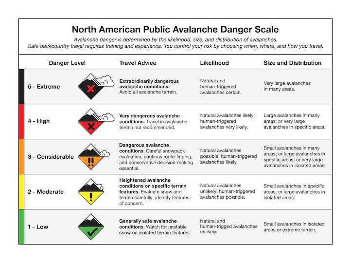
There is also weak snow in the middle and lower half of the snowpack. Avalanches breaking on these layers are more likely on slopes that have shallow spots where a person can more easily affect the weak layer and trigger a large avalanche. These deeper weak layers are difficult to assess with a stability test, so your best bet is to choose more conservative terrain. Large avalanches are possible and the danger is rated MODERATE.

In the Bridger and Northern Gallatin Ranges, triggering a large avalanche is unlikely. Over the last week these mountains received minimal new snow, and today’s light wind will not create fresh drifts. I skied in Hyalite yesterday and noticed strong winds were no longer transporting snow because previous snow was already drifted or hardened by wind and sun (video). Buried weak layers are present in the snowpack, but the snowpack has had time to stabilize without additional weight from new snow and wind-loading. Over the past week skiers reported a couple small wind slabs in Hyalite (details, detail). Similar small slides could be triggered today, and pose the greatest risk where they would sweep you off a cliff or into trees. Before traveling in avalanche terrain, assess the snowpack for instability, consider the consequences of being caught in a slide, and be diligent with safe travel protocols of exposing only one person at a time and carrying proper avalanche rescue gear. Today the avalanche danger is LOW.
Please share avalanche, snowpack or weather observations via our website, email (mtavalanche@gmail.com), phone (406-587-6984), or Instagram (#gnfacobs).

In Island Park avalanches can break in recently drifted snow or on weak layers deeper in the snowpack. The most worrisome weak layer is a surface hoar layer buried about a foot deep. Before riding steep slopes, dig down to look for and test this layer, and avoid pillows of recently drifted snow. There is also weak snow in the middle and lower half of the snowpack which is difficult to assess with a stability test, so your best bet is to choose more conservative terrain to ride.
Upcoming Avalanche Education and Events
Our education calendar is full of awareness lectures and field courses. Check it out: Events and Education Calendar.
Tuesday, January 17th, 6 p.m., Silent auction and ski movies to support the Darren Johnson Memorial Avalanche Education Memorial Fund @ The Independent in Big Sky, $10
Thursday, January 19th, 4-8 p.m., Pint Night to support the Darren Johnson Memorial Avalanche Education Memorial Fund @ Beehive Basin Brewery
Every Saturday, 10 a.m. - 2:00 p.m. Avalanche Rescue Training, drop in for any amount of time. Round Lake Warming Hut, Cooke City. Free.
Loss in the Outdoors, is a support group for those who have been affected by grief and loss related to outdoor pursuits. Check out the link for more information.
KING AND QUEEN OF THE RIDGE, FEBRUARY 4TH
Do you like to hike? Do you like to ski? Then the King & Queen of the Ridge is for you. Hike, ski and raise money for the Friends of the Avalanche Center in their 2nd biggest fundraiser of the year. Join the effort to promote and support avalanche safety and awareness! Fundraising prizes for the top 5 individuals who raise over $500. No racing is necessary to compete for the fundraising prizes. Info is HERE. Race participants for the February 4th event must register separately with Bridger Bowl HERE.
There are two events happening next week to help spread awareness about the Darren Johnson Avalanche Education Fund and generate donations for the next recipients to attend National Avalanche School in October 2024: a movie night at the Independent Theatre on Tuesday, January 17 and a raffle and pint night at Beehive Basin Brewery on Thursday, January 19 (poster).