Photos
|
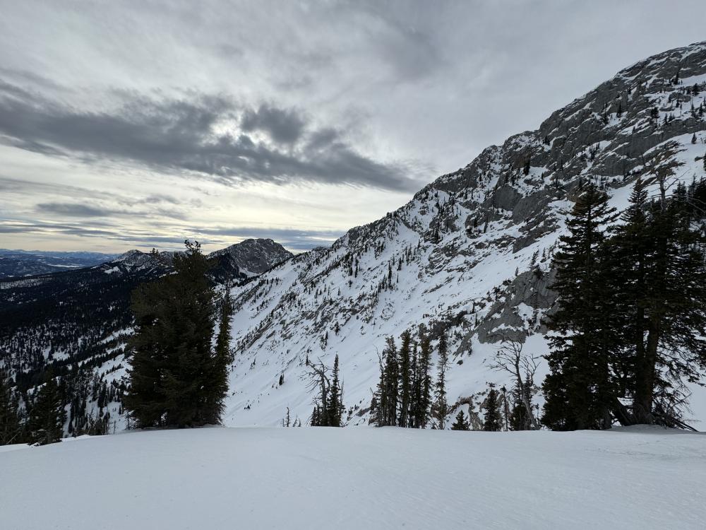
Bridger Range, 2023-12-18 Like much of the advisory area, the snowpack in the Bridger Range remains thin. Photo: GNFAC |
|
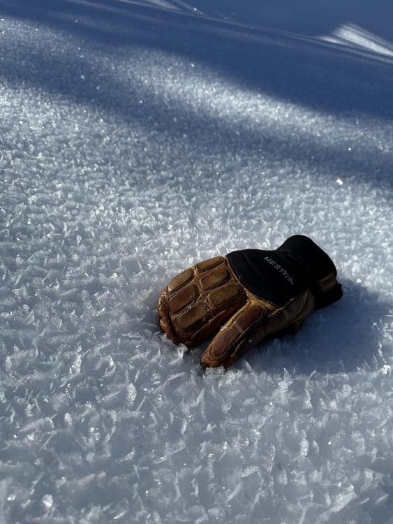
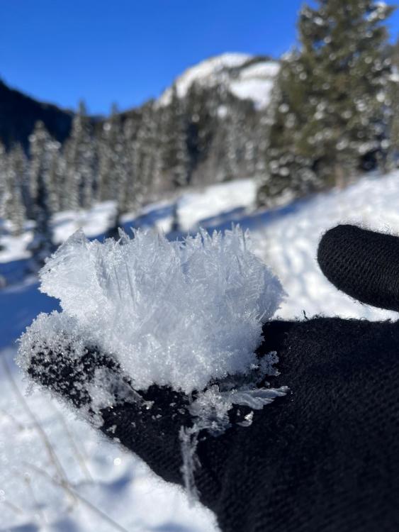
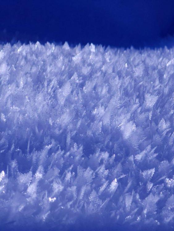
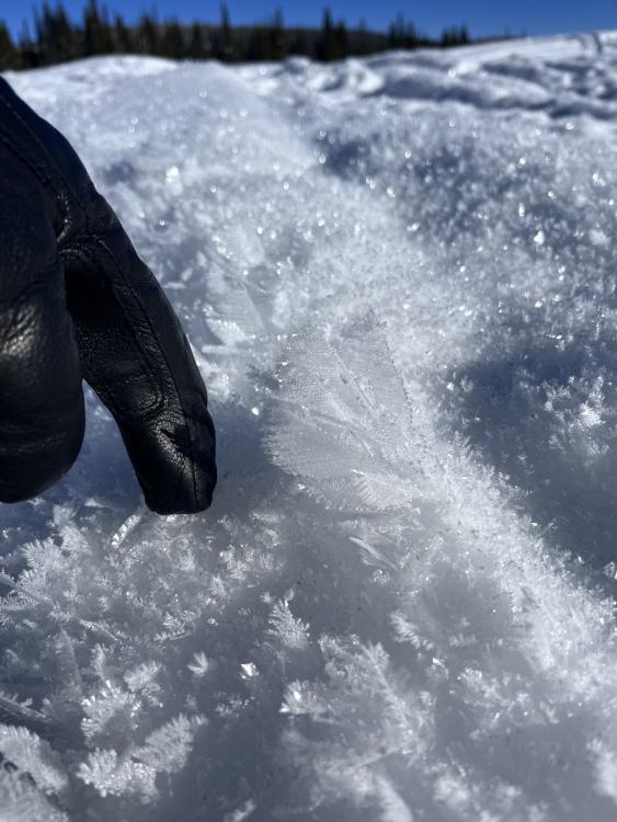
Southern Madison, 2023-12-18 From email: "Just sharing a photo I took of some large surface hoar. This was taken up in carrot basin in a spot that was especially bad, in the shadows sheltered by trees but adjacent to warmer sunny spot. It didn’t look like this everywhere but it certainly was a common sight." Photo: J. Abate |
|
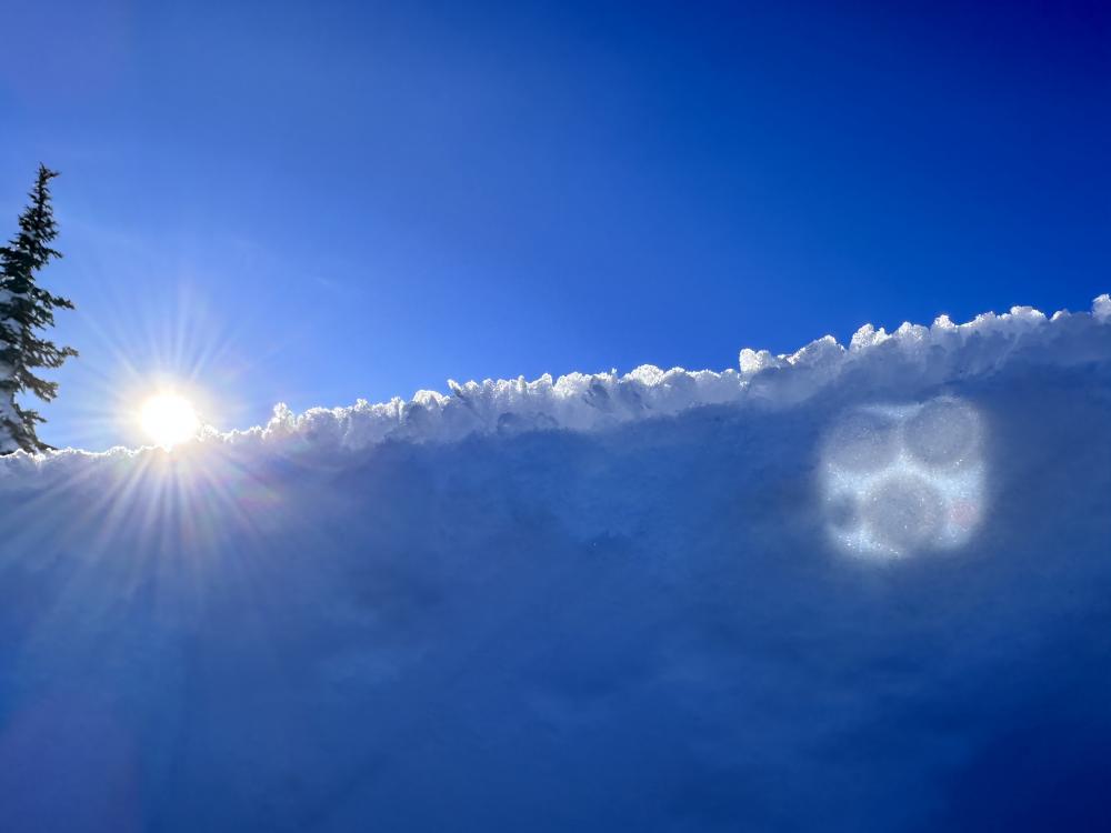
Island Park, 2023-12-17 Riders saw large surface hoar crystals while riding outside of Island Park. Photo. B.Schleicher
|
|
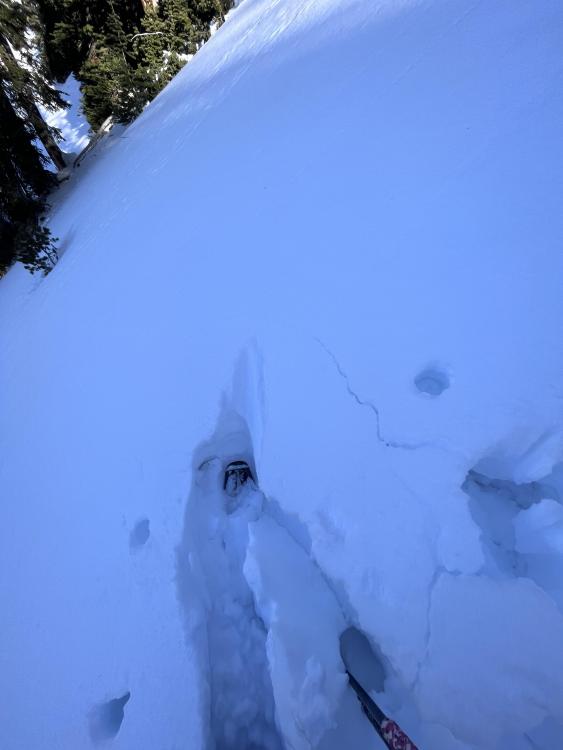
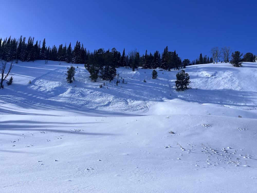
Northern Gallatin, 2023-12-17 Skiers on 12/17 saw cracking while touring in Beehive Basin. Photo: E. Webb Link to Avalanche Details |
|
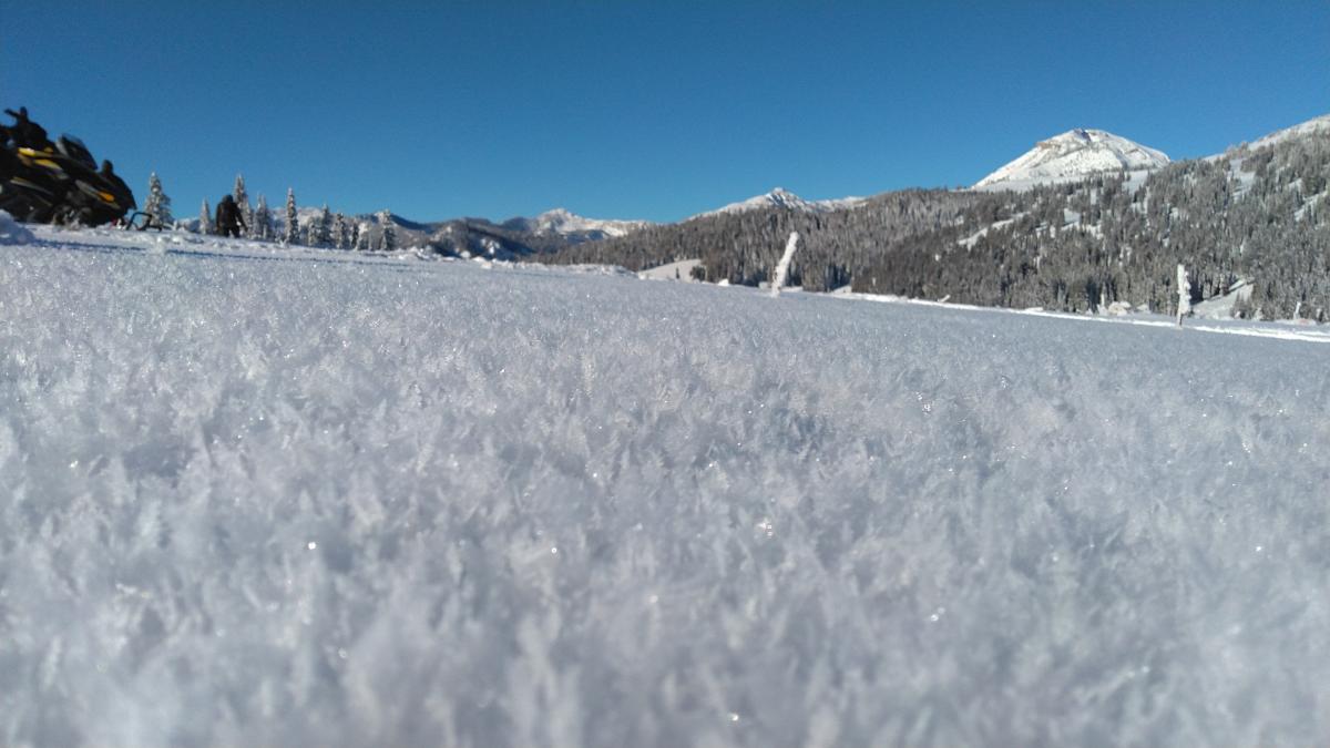
Lionhead Range, 2023-12-16 Large Surface hoar found in open meadows in Lionhead on 12/15, 1+ cm. Photo: E. Webb |
|
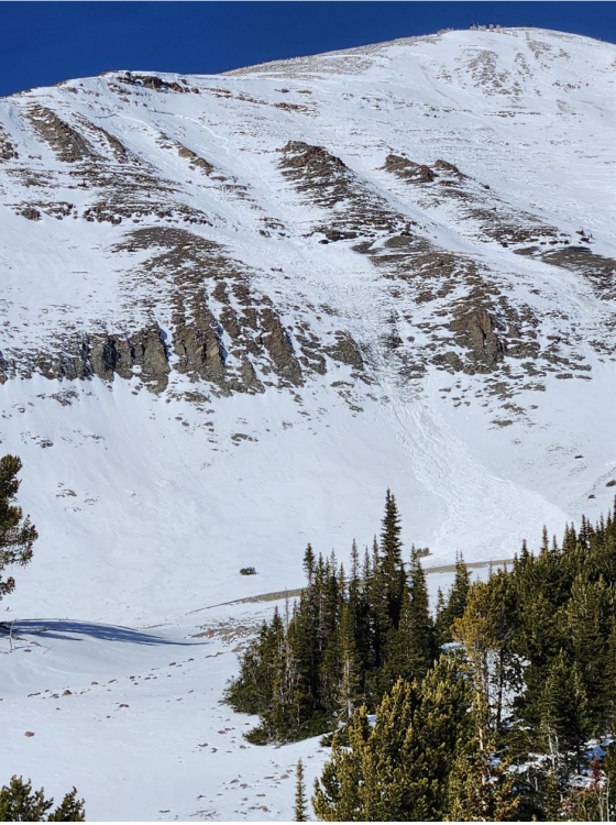
Northern Madison, 2023-12-15 Big Sky Ski Patrol reported two natural avalanches seen today (12/15) in closed terrain. From email: "It looks possible that they released at two different times during the day today.....It looks to be the storm snow, which was sitting on lower-density snow at the old snow interface. That interface likely had a layer of faceted snow on top of the old, crusty snow. " Photo: Big Sky Ski Patrol Link to Avalanche Details |
|
Lionhead Range, 2023-12-15 Natural avalanche in Lionhead that happened near the end of the last storm cycle (12/11) Photo: GNFAC Link to Avalanche Details |
|
Northern Gallatin, 2023-12-15 From obs: "We were ice climbing on Mummy 3 and 4 yesterday and as we looked across the valley to Mount Bole, we could see evidence of avalanche activity on the NE aspect of the peak. It looked quite big in length but could tell a depth from that far away." Photo: R. Dorn Photo taken 12/14/23. Avalanche likely released the previous weekend, around 12/9/23. Link to Avalanche Details |
|
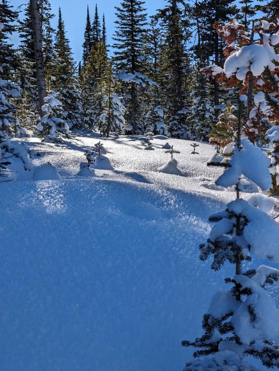
Northern Gallatin, 2023-12-14 From obs: "We also saw some spectacular surface hoar- probably 1-2" tall in places with extremely sugary snow underneath" Photo: USFS Bozeman Snow Rangers |
|
Lionhead Range, 2023-12-14 From email: "We noticed 2 natural avalanches on the east-facing slopes below Bald Peak. I lost count, but we experienced well over 30+ collapses while walking on the ridgeline. Many of these collapses were very large and we were able to watch the slopes 'sink' by upwards of an inch which made our hair stand on end." 12/13 Photo: R. Parsons Link to Avalanche DetailsLink to Avalanche Details |
|
Lionhead Range, 2023-12-14 Skiers in Liondhead saw large surface hoar cystals on many slopes. From email "some of the largest I've ever seen!" on 12/13. Photo: R. Parsons
|
|
Out of Advisory Area, 2023-12-14 Skiers near the Arrastra drainage south of Livingston noted a couple of large crowns on an east-facing bowl around 9800' elevation. Photo: T. Benson |
|
Southern Madison, 2023-12-13 On the way into and in Tepee Basin, we saw widespread and large surface hoar on the snow surface. Photo: GNFAC |
|
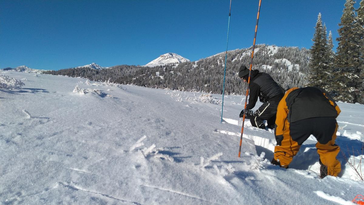
Lionhead Range, 2023-12-12 Spent the day up near ski hill with West Yellowstone Avalanche Fundamentals course. We dug various pits @ 8000' below ski hill and found HS 85-55cm on NW-NE aspects. The snowpack structure there had weak snow at the ground capped by a stout ice crust with faceted snow over the crust beneath the recent snow. We recorded ECTP4, ECTP11, ECT20 & a few more propagating results on facets above the crust. Photo: S. Regan
Link to Avalanche Details |
|
Lionhead Range, 2023-12-12 |
|
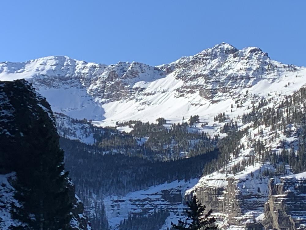
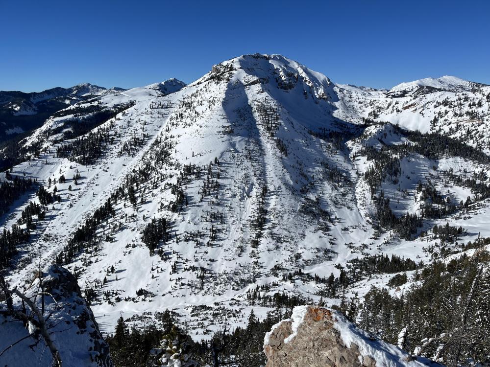
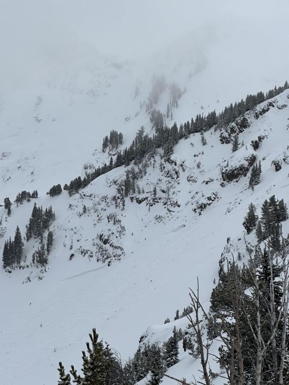
Northern Gallatin, 2023-12-12 Got a view of the bowls behind maid of the mist and above twin falls today. Multiple natural wind slabs, up to size 2, on E and NE aspects, roughly 9500 ft. SS-N-R2D2-I. My guess is they are roughly 48 hrs old. Link to Avalanche Details |

|
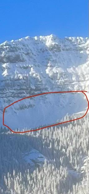
Northern Gallatin, 2023-12-12 A skier triggered avalanche on the SE face of Mt. Blackmore. Crown is marked. Link to Avalanche Details |
|
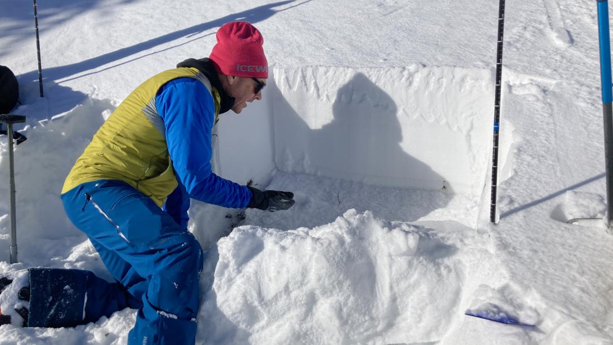
Bridger Range, 2023-12-12 Doug investigating the basal facets after an ECT failed upon isolation (ECTPV) Photo: GNFAC |
|
Northern Gallatin, 2023-12-12 On 12/11, skiers noticed this recent D2 avalanche on the E aspect of Blackmore. As they skinned up the SE meadow, they experienced three audible whumpfs. Photo: Eric H Link to Avalanche Details |
|
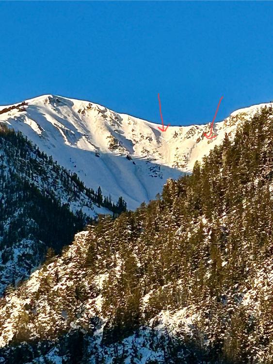
Northern Gallatin, 2023-12-10 From obs: "Yesterday 12/10/2023 at 0900, my climbing partner and I observed a clear crown line that extended throughout much of the east/ north east aspect of the bowl on Elephant Mountain. "
Link to Avalanche Details |