Good morning. This is Ian Hoyer with the Gallatin National Forest Avalanche Forecast on Friday, December 23rd at 7:00 a.m. This information is sponsored by Blitz Motorsports and Yamaha and Montana State Parks. This forecast does not apply to operating ski areas.
Overnight, mountain temperatures climbed above 0 F for the first time in 36 hours. There is no new snow and westerly winds are 10-15 mph gusting 25-30 mph. Temperatures today will climb into the high single digits to teens F. Moderate westerly winds will continue. Snowfall will begin mid-day with 2-4” expected in the Bridger Range and 3-6” across the rest of the advisory area by tomorrow morning.

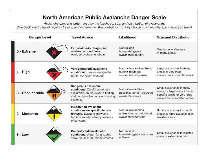
Triggering avalanches 2-4 ft deep in the recent and wind drifted snow remains possible today. More than 20” of snow fell in Cooke City earlier in the week accompanied by strong winds. A number of natural avalanches broke during the storm (details, details). The storm snow is slowly settling. Look out for shooting cracks as a sign that the new and drifted snow remains unstable. It’s been almost two weeks since the last slide broke on deeper weak layers, but even the slight possibility of such a slide should lead you to tone down your terrain ambitions a bit today (details, details). The avalanche danger is MODERATE.
Avalanches breaking on weak layers low in the snowpack are the primary concern. Weak layers buried 3-4 ft deep are present on most slopes and in many places are capped by a cohesive slab. There hasn’t been recent activity on these layers, but our stability tests are showing they still hold the potential to slide (Hebgen Lake video). Dig and test these layers. If there is any doubt - stay out of avalanche terrain.
Wind drifts of recent snow could also break in somewhat shallower avalanches (but still plenty deep to be a serious concern). Avoid wind drifts entirely or check to make sure they’re well bonded before committing to steep terrain. Triggering avalanches remain possible and the avalanche danger is rated MODERATE.
Please share avalanche, snowpack or weather observations via our website, email (mtavalanche@gmail.com), phone (406-587-6984), or Instagram (#gnfacobs).

In Island Park, avalanches breaking on weak layers low in the snowpack are the primary concern today. Dig and test these layers. If there is any doubt - stay out of avalanche terrain. Wind drifts of recent snow could also break in somewhat shallower avalanches (but still plenty deep to be a serious concern). Avoid wind drifts entirely or check to make sure they’re well bonded before committing to steep terrain.
Upcoming Avalanche Education and Events
Our education calendar is full of awareness lectures and field courses. Check it out: Events and Education Calendar.
Thursday, December 29, 6:30 p.m., Avalanche Presentation and Raffle (great odds of winning!) at MAP Brewing in Bozeman. Free.
January 4 + field day on January 7 or 8, Avalanche Fundamentals for Snowmobilers, Information and pre-registration HERE.
January 4 + field day, Avalanche Fundamentals for Skiers and Snowboarders, Information and pre-registration HERE.
Every Saturday, 10 a.m. - 2:00 p.m. Avalanche Rescue Training, drop in for any amount of time. Round Lake Warming Hut, Cooke City. Free.
Please consider donating to the Friends of GNFAC Annual Fundraiser.

Send us your observations. They do not have to be fancy, just a few sentences. Did you see any avalanches? How much new snow? Is the wind blowing and drifting snow? Pictures, snowpits and stability test scores are also welcome, but not necessary. You can help us fill in the gaps of our field work.