
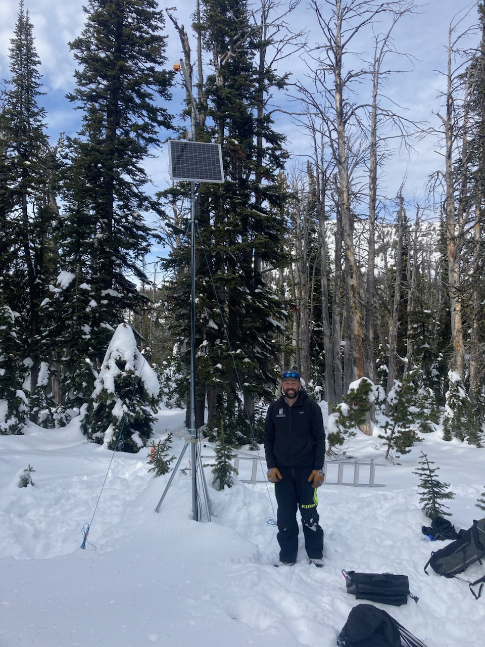
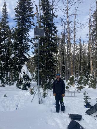
Went to do maintenance on the Sawtelle Snowfall weather station at 8800 ft just off the Sawtelle Mountain Road. Continuous snowcover starts around 8000 ft. At 8800 ft there is ~20" of snow with a mix of hard crusts and weak facets. These weak layers near the ground will be something to watch once snows again. Photo: GNFAC
Trip Planning for Island Park

Primary Problem: New Snow
Bottom Line: New snow will create the main avalanche hazards this weekend. Avalanches could show a wide range of characteristics, from slabs of wind-drifted snow to wet-loose avalanches that run long distances. Where more snow falls, slab avalanches could break within or below the new snow, even where not drifted. Wet snow avalanches breaking deeper than the new snow are possible on slopes that have wet, unfrozen snow below the new snow, or where a lot of precipitation falls as rain on a wet and unsupportable snowpack. If you travel on or below steep slopes, carefully assess the new snow for signs of instability. Continuously reassess snow stability throughout the day, and as you move through different aspects and elevations.Past 5 Days
Sun Apr 14

Considerable
Considerable
Mon Apr 15

None
None
Fri Apr 19
None
None
Mon Apr 22
None
None
Today
None
None
Relevant Avalanche Activity
Southern Madison
Quake Lake
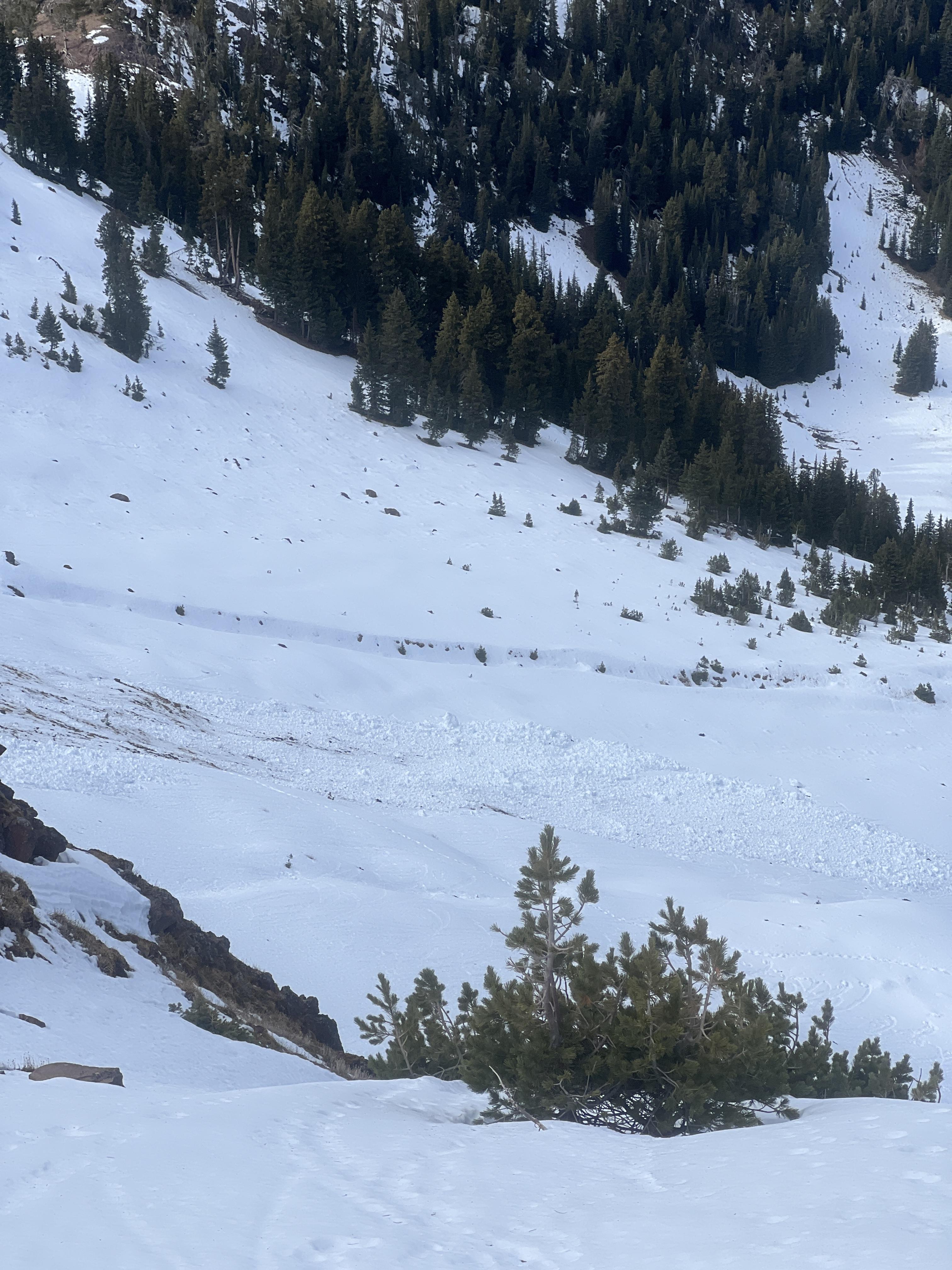
Wet Slab Avalanche Above Quake Lake
Quake Lake
WS-N-R2-D2-G
Coordinates: 44.8524, -111.3920
Caught: 0 ; Buried: 0
More Avalanche Details
WS-N-R2-D2-G
Coordinates: 44.8524, -111.3920
Caught: 0 ; Buried: 0
From IG: Wet slide to the ground above Quake Lake.
More Avalanche Details
Island Park
Arange Peak
Wet avalanches in Island Park
Arange Peak
WL-N
Coordinates: 44.5263, -111.4650
Caught: 0 ; Buried: 0
More Avalanche Details
WL-N
Coordinates: 44.5263, -111.4650
Caught: 0 ; Buried: 0
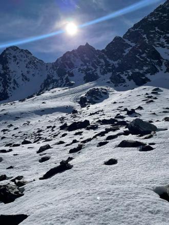
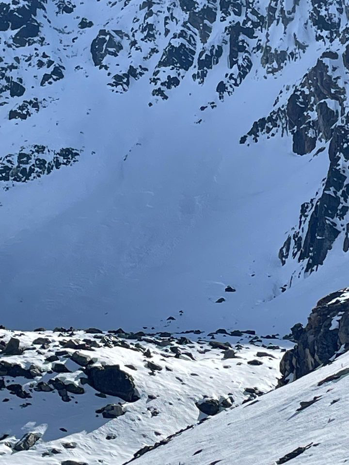
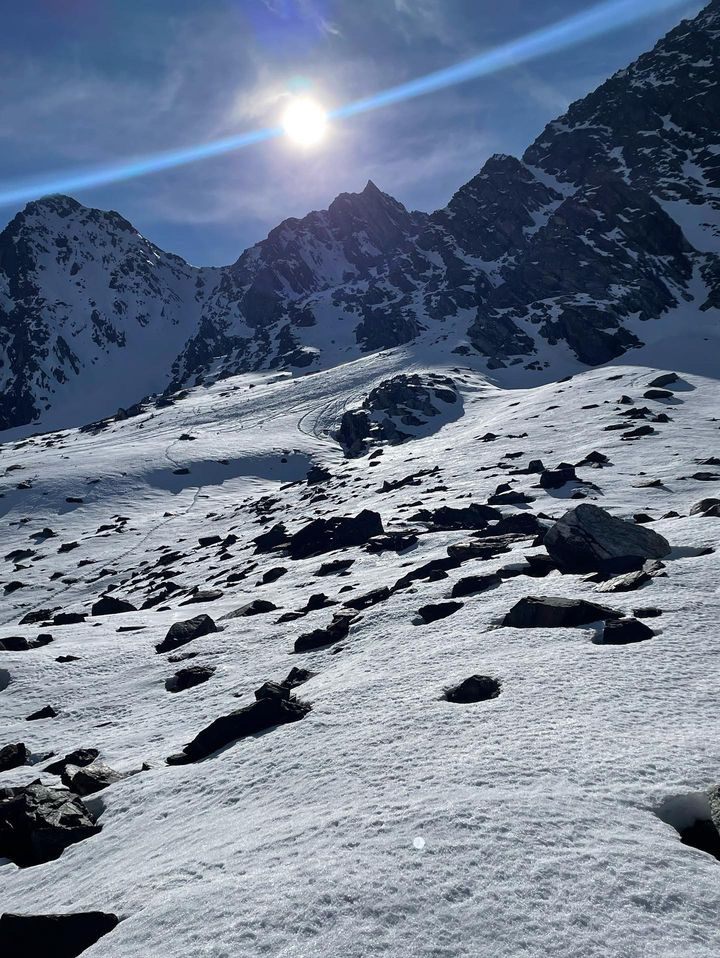
From IG mesasge (4/6): "Some wet action at arange peak near Sawtell yesterday. From slope Dave and I did our first pit on Monday. Lots of release in that new old interface but didn’t see anything releasing down deeper."
More Avalanche Details
Relevant Photos
Displaying 41 - 45
-
-

From IG: “Pine creek today, some small wind slabs and a full depth wet slide off black mountain”
-
From IG: “Pine creek today (10/21), some small wind slabs and a full depth wet slide off black mountain”
-

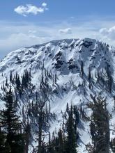
From obs. "Was out alpine climbing today and observed the north face of Blackmore had slid already."
-

Get your tickets and online bid for items HERE!

Videos- Island Park


Weather Stations- Island Park
Weather Forecast Island Park
Extended Forecast for10 Miles ESE Lakeview MT
Winter Storm Warning until April 27, 06:00pmClick here for hazard details and duration Winter Storm Warning-
Winter Storm Warning until April 27, 06:00pm
NOW until
6:00pm Sat
Winter Storm Warning
-
This
Afternoon
Chance
T-stormsHigh: 41 °F
-
Tonight
Chance
Rain/Snow
then
Rain/SnowLow: 33 °F
-
Saturday
Rain/Snow
then ShowersHigh: 43 °F
-
Saturday
NightShowers then
Rain/SnowLow: 32 °F
-
Sunday

Rain/Snow
High: 40 °F
-
Sunday
NightRain/Snow
then Chance
Rain/SnowLow: 29 °F
-
Monday
Chance Snow
Showers then
Snow Showers
and BreezyHigh: 40 °F
-
Monday
Night
Snow Showers
and BreezyLow: 21 °F
The Last Word
We began our daily forecasts on December 7. 130 daily forecasts and 464 reported avalanches later, we wrapped up our daily forecasting season on April 14th. While avalanches remain a concern until the snow is in the rivers, read our SEASON SUMMARY to look back at the heart of the 2023-24 avalanche year.